Merhaba!
This is part two (sort of) of the previous post:
While we did our economic geology focus in Sivrihisar, investigating the economic viability of a particular type of granite, we could have just as easily written about the economic potential of rocks surrounding the town of Cayirhan. There are two significantly large coal seams just outside the town. We were lucky enough to actually visit the mine there, not only to see the facilities, but also to ride the cart down into the mine! The part of the mine we visited is not currently being mined, but all the equipment was down there, and the miners who escorted us turned on the giant rock-crushing wheel so we could see it in action! According to a paper presented at the 17th International Mining Congress (2001), the Cayirhan coal mine produces 4 million tons of coal annually.
To go on our tour, we had to dress the part: mining company t-shirt, heavy jumpsuits, plastic shin guards, steel-toed boots, hard hats with headlamps, and our toolbelt with our carbon monoxide converter strapped to it. Here is a picture of most of the girls in our gear:

Before going down into the mine, we were given a safety presentation where we were taught how to use the carbon monoxide converter. It's pretty scary, I'm not sure if the equipment is any more user-friendly in the US than in Turkey, but these were pretty nasty little machines. They are little boxes secured to your face by a band around the back of your head, and you bite down on the mouthpiece, making sure to wrap your lips around it to create a secure seal to keep the bad air out. However, it is not an oxygen tank; the way the machine works is that it converts the carbon monoxide to oxygen at the place where you are biting down. The chemical conversion heats up the mouthpiece, and can actually cause third degree burns on your lips. I think in that moment all of us took a minute to reflect on how lucky we were to not have to take that risk every day.
This picture was taken outside the coal mine after we emerged. I think I was trying to ask our Turkish guide a question in this picture (?). The ride in the carts was a looooong way in and out; I think we went about 700 meters under the surface. It felt like a slow version of the "Escape from Pompeii" Busch Gardens ride. It was dark and warm, but we did not emerge by splashing down a chute of water! I'm very glad that we didn't though, because the water we did see running alongside the track the carts rode on was bright orange. I'd seen pictures of water draining out of coal mines, but to see it in person, close enough to touch, was kind of unnerving.

This is a picture of coal mine drainage in a river in Pennsylvania. The water we saw was just as brightly colored as this example.

Overall, the mine trip was definitely eye-opening. It made me wonder how North American mines operate compared with the Cayirhan mine. I wonder in particular how miner safety/health is handled, and if it is very different. I also wonder if environmental issues are taken more seriously in North America. Based on the pictures I've seen from coal mine drainage in the Appalachians, it doesn't really look like it.
Sadly, no pictures from the final week of mapping, probably because the rocks were so hard to find! Next stop: Istanbul!
Salaam alaikum,
Sarah
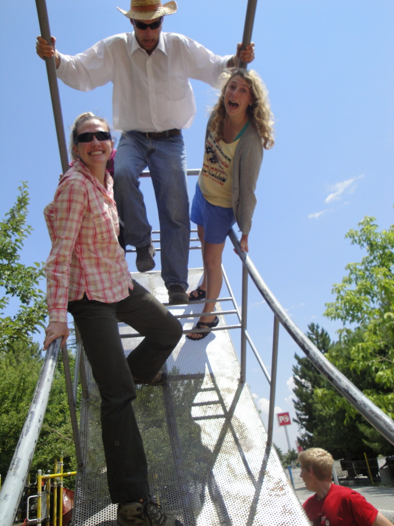
PS - On the drive from Cayirhan, we stopped at a truck stop with a really nice park/playground. We found a pretty serious swing and had to stop and play on it! Kyle, Morgan, Kate, and I were pushing this side: